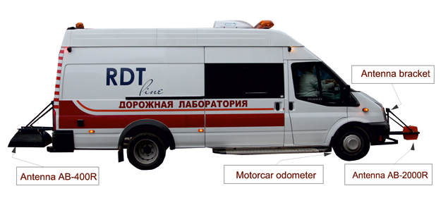
The OKO-2 GPR Road Set uses special horn antennas (400-2500MHz) suspended above ground level and fixed to the vehicle by car suspension. The complex offers the users the single-channel and multi-channel solutions for high resolution survey up to 80 km per hour.
Geotech has a big experience of geophysical research on highway and collaborates with the leading Russian Road Companies.
Application
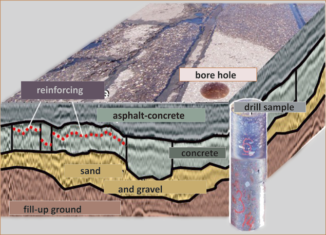
Engineering geophysical surveys for highways and overbridges construction
•Determining thickness of road pavement structural layers
•Detection of subsidence
•Detection of non solid and watered zones
•Study of engineering geological conditions of the zones liable to deformation
•Study of dangerous engineering geological processes:
•Landslides, floating earth, karstic phenomena
•Checking highway pavement structure compliance with project documentation
The Horn antennas (with central frequency from 400 to 2500 MHz) are designed for the detailed examination of pavement layer thickness.
Features:
•high speed multi-channel control unit
•number of channels: up to six (up to 6 profiles simultaneously)
•antennas frequency: from 150MHz up to 2500MHz
•maximum survey speed: up to 120 km/h
•detection depth: up to 8m
•creating 3D model
•GPS integration
•Automatic data processing
Key Characteristics
| Operating time: up to 8 hours |
| Single-channel or two-channel control unit |
| Horn antenna 400MHz, 1000MHz, 1700MHz and 2000MHz |
| Control units are compatible with all OKO-2 GPR antennas |
| Survey rate up to 80 km/hour |
The OKO-2 GPR Road Set combines:
•Control unit (single-channel or multi-channel)
•Notebook
•Power supply unit 9/12
•Optical transformer
•Charger ZU-9
•Motorcar odometer
•Antenna bracket
•Software GeoScan32
Software
OKO-2 GPR Technical Specification and Operating Instruction
GeoScan32
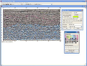
Geoscan 32 is designed for control of the ground penetration radar (GPR), as well as for further processing and visualization of the data obtained in the process of scanning.
Features
•GPR data acquisition with OKO-2 GPR in continuous mode, arrow mode (using odometer) and step-by-step mode
•Datavisualizationduringthesurvey
•Interactive determination of layer speeds and local objects occurrence depths
•Layer-by-layer processing
•Area survey data processing
•Terrain correction
•Trace editing
RadExplorer
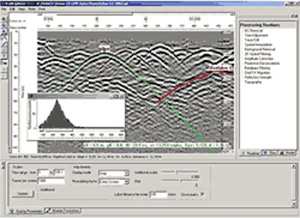
RadExplorer – is designed for interactive processing and interpretation of GPR data developed by DECO Geophysical.RadExplorer is a specially designed program for GPR (ground-penetrating radar) data processing and interpretation. The options set optimized for GPR data and friendly human-engineered interface allow quick and effective processing of GPR data.
Applicable antenna options
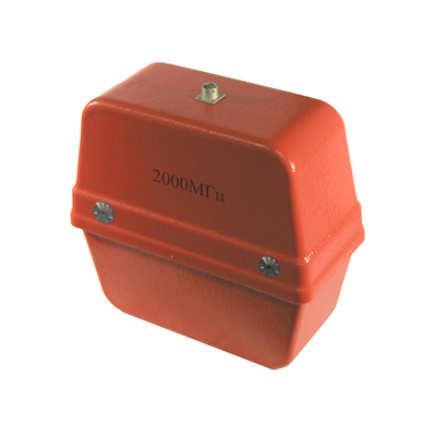
AB-2000R
High-veloсity antenna of horn type with central frequency of 2000 MHz, depth of sounding up to 0,6 meter, resolution 0,02 meter
Price: More description
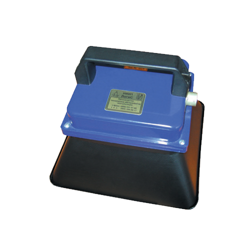
AB-1700R
Antenna of horn type with central frequency of 1700 MHz, narrowed directional diagram, opportunity to survey at a distance up to 0,02 meter above surface, opportunity of near-surface layer detailed survey, depth of sounding up to 0,8 meter, resolution 0,03…
Price: More description
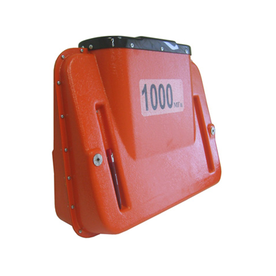
AB-1000R
Antenna of horn type with central frequency of 1000 MHz, depth of sounding up to 1,5 meter, resolution 0,04 meter.
Price: More description
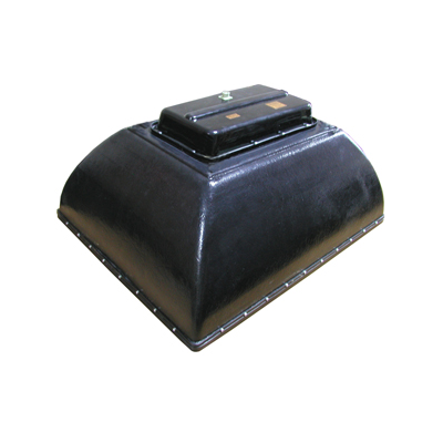
AB-400R
Antenna of horn type with central frequency of 400 MHz, depth of sounding up to 3 meter, resolution 0,10 meter. Processing and interpretation of GPR survey with 3-channel GPR (three antennas AB-400).


